Floods have affected more than 236,000 hectares in the Caribbean region: UNGRD provides details
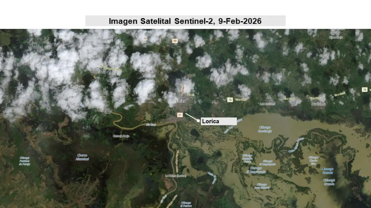
The entity identified the impacts through satellite technology. Photo: UNGRD
TL;DR
- 236,442 hectares have been flooded in the Caribbean region.
- Córdoba is the most affected department with 113,641 hectares inundated.
- International Earth observation systems, including the International Charter and Copernicus, were activated by UNGRD.
- Satellite imagery provides precise data for delimiting flood extent and supporting emergency response.
- These technological tools enhance decision-making, inter-institutional coordination, and response planning.