health
March 18, 2026
INETER: Plan for the summer season 2026
The Government of Reconciliation and National Unity (GRUN) through INETER, continuously and uninterruptedly monitors atmospheric, oceanic, hydro-meteorological, hydro-geological, and geological conditions.
TL;DR
- INETER continuously monitors atmospheric, oceanic, hydro-meteorological, hydro-geological, and geological conditions.
- Early warnings are issued for earthquakes and tsunamis.
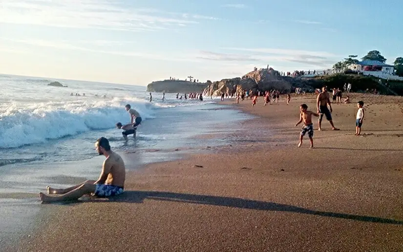
- Summer surveillance (March-April) focuses on heatwaves, fires, and storms.
- Activities include continuous meteorological shifts, hourly temperature monitoring, and solar radiation analysis.
- Monitoring covers wind, rainfall, forest fire susceptibility, and wave forecasts.
- River and lake levels, groundwater, seismic activity, and volcanic eruptions are tracked.
- Tsunami monitoring and rapid alerts are provided for events exceeding magnitude 6.5.
- Volcanic activity is watched through visual monitoring, gas sensors, and satellite imagery.
- Field visits assess unstable slopes and volcanic activity.
- Daily seismic-volcanic surveillance reports are published.
- The functionality of INETER's monitoring sensor networks is ensured.
- Computerized scientific-technical systems and communication networks are maintained.
- Geospatial databases and interactive map viewers are generated for emergencies.
- The website and Geo-Informatic platforms are permanently updated.
- Specialized personnel create thematic maps for emergency situations.
- Fundamental data maps are generated for emergencies, focusing on planimetry and altimetry.
- Emergency field tours are conducted for natural phenomena diagnosis and technical support.